 Free delivery on orders over £20


Product Detail
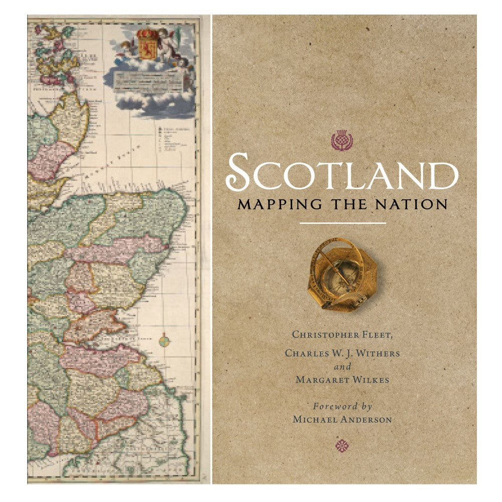


Scotland: Mapping the Nation
Product ID: 9781780274836Quick Overview
Maps can delight, educate and illuminate a nation's history and geography. . Where written documents are obvious resources in helping shape views of the past, maps powerfully illustrate how and why nations have come to be seen as they are. Scotland: Mapping the Nation is the first book to take...
Add to Wishlist
Description
Maps can delight, educate and illuminate a nation's history and geography.Where written documents are obvious resources in helping shape views of the past, maps powerfully illustrate how and why nations have come to be seen as they are. Scotland: Mapping the Nation is the first book to take Scotland's maps seriously as a form of Scottish history, from the earliest representations of Scotland by Ptolemy in the second century AD to the most recent mapping and geographical representation in GIS, satellite imagery and SATNAV.
Written by experts who have spent their lives working with maps and map history, Scotland: Mapping the Nation offers a fascinating and thought-provoking perspective on Scottish history and geography.
The book, produced in association with the National Library of Scotland, is beautifully illustrated with details of the most significant manuscript and printed maps of Scotland including those by Timothy Pont, Joan Blaeu, William Roy and the Bartholomew firm amongst many others.
Hardcover: 336 pages Product Dimensions: 24.8 x 3.6 x 25.4 cm
Delivery and returns
If you spend £20 or more on our website delivery is FREE throughout the UK. See our delivery information page for full details.
We're cool with returns too, check our returns and refunds page for what to do if you need to send something back.
Related Products

Coming Soon!
Contact us for availability
Contact us for availability
On this culinary journey through the Highlands of Scotland, award-winning food writer Ghillie Basan meets a host of artisan food...
On this culinary journey through the Highlands of Scotland, award-winning food writer G...
£20.00
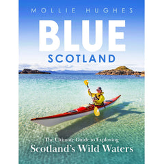
Scotland is famed for its rugged coastlines, pristine beaches, endless rivers and deep lochs. The whole country is a magnet...
Scotland is famed for its rugged coastlines, pristine beaches, endless rivers and deep ...
Coming Soon!
Contact us for availability
Contact us for availability
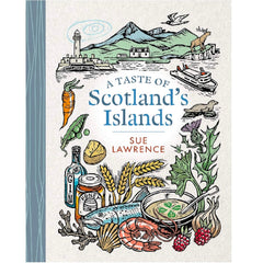
Sue Lawrence has amassed over 100 recipes from islands such as Mull, Raasay, Out Skerries and Luing. Mainly created from...
Sue Lawrence has amassed over 100 recipes from islands such as Mull, Raasay, Out Skerri...

Coming Soon!
Contact us for availability
Contact us for availability
Paul Murton has travelled the length and breadth of the Scotland's rugged, six-thousand-mile coast line, and sailed to over eighty...
Paul Murton has travelled the length and breadth of the Scotland's rugged, six-thousand...